We thought Cutterlight fans might be interested in seeing a short (three minute) video that captures life in this small coastal Alaska town – as well as the community’s commitment to sustainable energy.
Of interest to us is that with a population of just over 2,000 inhabitants, Cordova is nearly identical in size to Henry Thoreau’s Concord, Massachusetts of 1860. The similarities between the two towns don’t end with size. With no roads connecting Cordova to the world beyond, it requires intention to reach our community. This relative isolation creates a balance of independence and tight-knittedness that formerly marked most U.S. small towns.
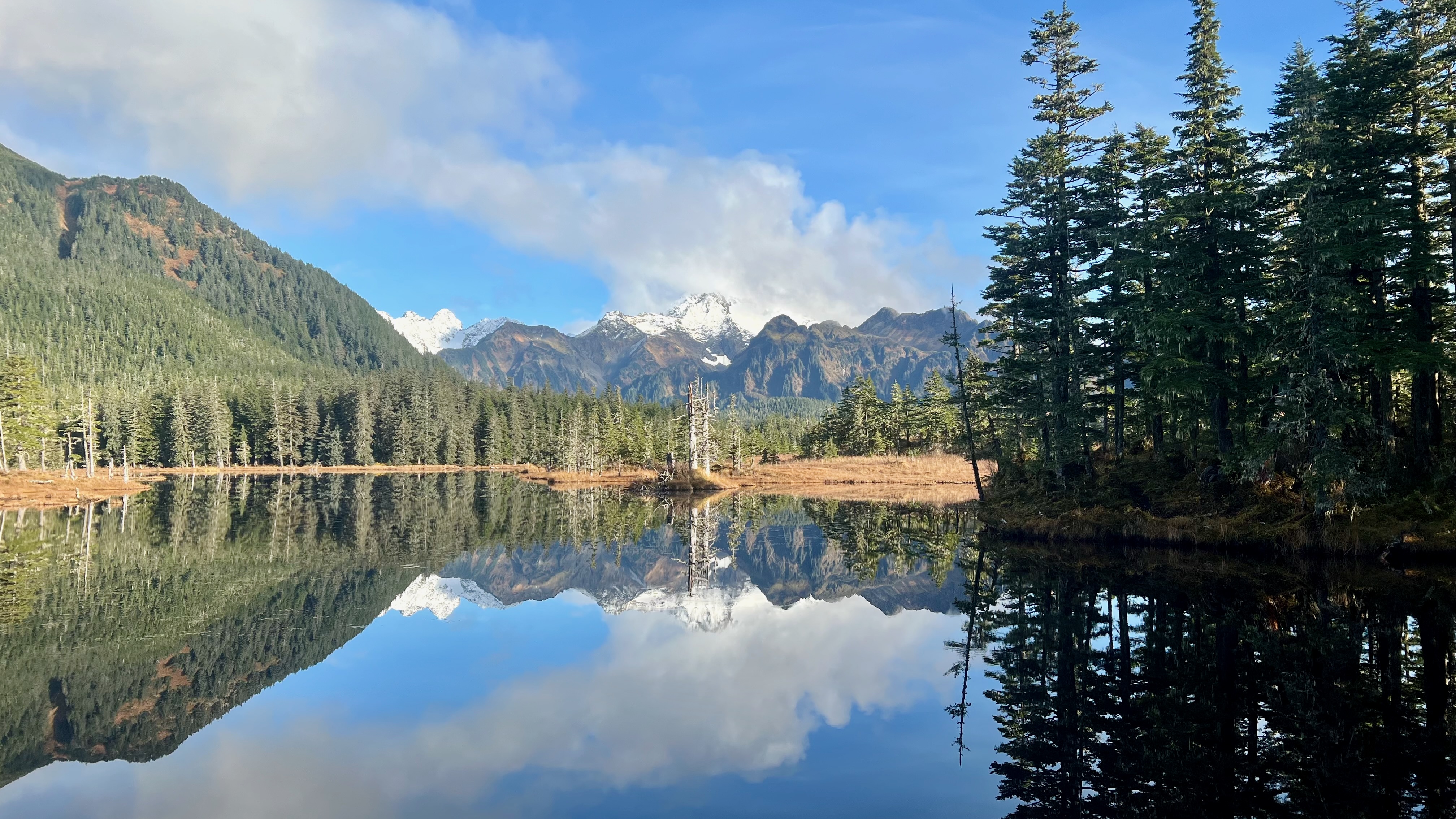
With Copper River salmon runs still strong enough to fuel a fairly healthy economy, most of our electricity generated from local rivers that continue to flow with nearly pristine purity, full of spawning salmon each year, and a downtown replete with library, art gallery, hardware store, grocer and other shops and restaurants within pleasant walking distance, we seem to have arrived in Cordova at its belle epoch.
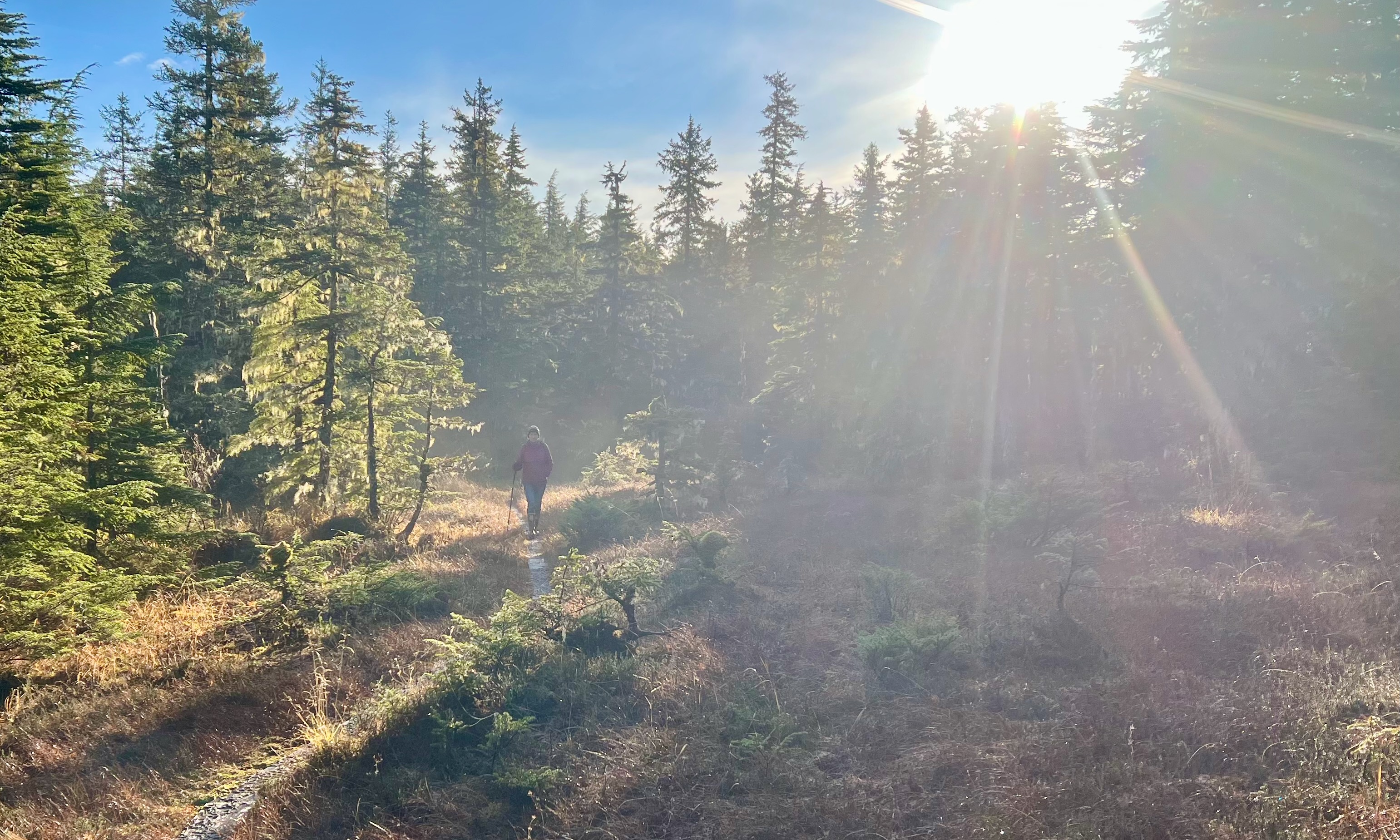
Life here is… serene. Police and emergency sirens are few and far between; common courtesies are many. Sidewalks are clean and it is uncommon to encounter a line at any of our shops or the post office. So many of the things that “made America great” – things we remember from our youths of decades past – still thrive in this community where people of European, Asian, Native American and other heritages mix together seamlessly. Although March nights still get cold, already the afternoon sun warms our deck into the 70s so that outdoors reading and dining are thoroughly comfortable. We’ve had hummingbirds at our feeders all winter long…
It would seem that a crystal ball isn’t required to see that in the not-so-distant future, people will leave places that are either too hot, too dry (Colorado is currently experiencing a nearly state-wide water shortage), or too vulnerable to coastal flooding. Calling it a “hoax” won’t make it go away, and I think we all know what is meant by “it.”
So where will these people go? Alaska is warming at a faster rate than places further south. Climate models predict that by 2050, average temperatures up here will be eight degrees warmer. With slightly fewer than three-quarters of a million residents and enough land to fit Texas, California and Montana with room to spare…