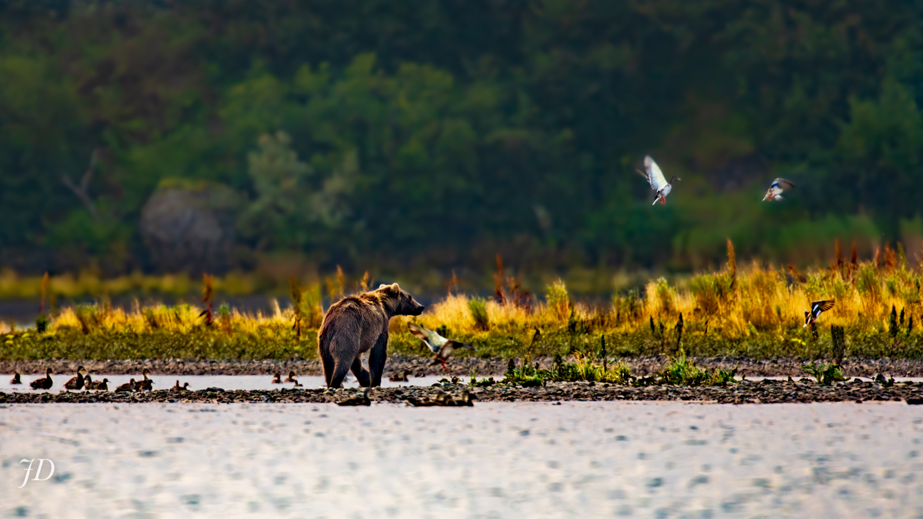
Chignik River, Dawn, September 10, 2018
Behind me from where I stood as I composed this photograph, a dirt and gravel road travels a winding path along steep hillsides for about three miles to the Chignik Lake airfield, a bouncy dirt airstrip capable of handling the nine-seat bush planes and smaller aircraft that regularly travel the Alaska Peninsula. For the first two-and-a-half miles from the boat landing the road hugs steep hills, often within view of the river. Traveling the road from June through November, it’s common – at times almost a given – that you’ll see one of more of the Chignik’s massive brown bears. Sandhill Cranes, Tundra Swans, eagles and any number of passerines are frequently encountered in summer, and at any time of year a glimpse of foxes, moose, wolves and even wolverines is possible. Take note of the local hares you might catch sight of – Tundra Hares, the largest hares in the world.
The road is the road… the road to The Pad… the Top Road. Three miles. On one end, unless you are on a Honda (an ATV), you would need to board a plane to travel further by vehicle. On the other end, you need a skiff. There is no overland connection with any other community. Mountains, rough terrain and jungle-thick alders make travel by foot even to the village of Chignik Lagoon – just six miles down the peninsula from Chignik Lake – impractical. Whether one travels by air or by sea, it is 353 miles to Homer, Alaska – the closest place a road connecting with the North American mainland can be joined.
Is “wilderness village” an oxymoron?